The First Pass: Reading Your City’s Snow Map as a Neighborhood Ranking
Every winter, cities publish a map that looks like engineering. It has colored lines, route numbers, maybe a legend with terms like “primary,” “secondary,” and “residential.” It is easy to treat the snowplow map as a piece of public works housekeeping — the municipal equivalent of a bus schedule.
It is not. A snow map is a ranking of neighborhoods, dressed in cartography. It says, in advance, which streets get cleared first, which streets get cleared later, and which streets wait for the storm to stop and the crews to loop back. That ranking is not neutral. It reflects budget choices, political pressure, geography, and the locations a city has decided are essential. Before the first snow, it is worth reading your city’s map the way you would read a zoning application or a budget line: as a statement of priorities that someone chose.
The map is a priority list with a plow attached
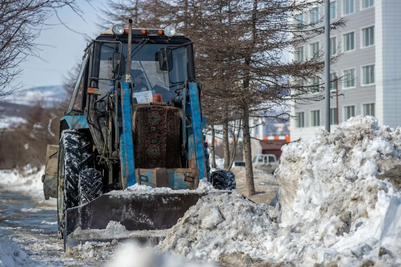
Most snowplow plans start with a simple hierarchy. Arterials and emergency routes come first. Then collector streets that feed those arterials. Then school bus routes, hospital access roads, and streets with steep grades. Residential side streets usually come last, often after the storm has passed.
That hierarchy can be entirely reasonable. A city cannot plow every street at once, and a fire truck needs a cleared arterial more than a cul-de-sac needs a second pass. But the details matter. Is a senior center on a secondary route or a residential one? Does a neighborhood with a high concentration of older residents sit behind a school route that gets priority? Is the street leading to the only grocery store in a lower-income area treated as an arterial, or does it wait?
Those are not gotcha questions. They are the kind of questions a city should be able to answer plainly. The map is where the answers start.
Where to find the map before the first storm
Start with your city’s public works department. Many cities post snow removal plans, priority route maps, and “snow emergency” rules on their websites. Look for a PDF or an interactive GIS map. If you cannot find it, search the council packet archives for “snow removal,” “winter operations,” or “plow routes.” Public works budgets often include route maps as attachments.
If the map is only available as a low-resolution image, that is itself useful information. Ask for the underlying route data through a public records request. You do not need to be a GIS expert to ask for a shapefile or a list of streets by priority level. You are asking for the same data the city already uses to dispatch crews.
Also check whether your city publishes a separate map for “snow emergency routes” — streets where parking is restricted after a certain accumulation. Those routes are often different from plow routes, and the difference can confuse residents. A street may be a priority for clearing but not a snow emergency route, or vice versa. The clearer the city’s public explanation, the easier it is to hold the plan accountable.
Compare the map with the places that matter
Once you have the map, overlay it with the places your neighbors actually use. Where are the hospitals, urgent care clinics, dialysis centers, and pharmacies? Where are the schools, especially those with large numbers of students who walk or take the bus? Where are the senior centers, food pantries, and public housing complexes? Where are the steep hills, bridges, and intersections that become dangerous when they ice over?
You do not need a sophisticated map to do this. Print the plow map and mark those locations with a pen. If a dialysis center sits on a residential street that is plowed last, that is worth asking about. If a school route gets priority but the sidewalk leading to it does not, that is worth asking about too. Snow removal is not just about cars. It is about whether people can get to work, to medical appointments, and to the grocery store.
This is also where complaint logs come in. Many cities publish 311 requests or snow-related service calls. Compare the geography of complaints with the plow map. Are the same blocks calling every storm? Are those blocks on a lower-priority route? A complaint log is not proof of unfairness, but it is a useful record of where the plan meets the street.
The budget hearing is the right room
Snowplow routes are usually set by public works staff, not by a council vote. But the resources behind them — trucks, salt, overtime, contractors — are approved in the budget. That makes the public works budget hearing the right place to ask about priorities.
You do not need to give a speech. A question is enough. Try something like: “Can you explain how the snow route priority map was set, and whether it has been reviewed since the hospital expansion and the new senior center opened?” Or: “How many trucks are assigned to residential routes after a storm, and what is the typical wait time for a street like mine?” Or: “When the city updates the snow plan, does it compare route priorities with 311 complaints and school bus routes?”
Those questions are specific, answerable, and hard to wave away. They also signal that you have done your homework. Staff may not have the numbers at their fingertips, but they can follow up. And if several neighbors ask similar questions, the issue becomes harder to treat as a one-off complaint.
What to ask before the first snow
A good snow plan is not one that promises every street will be clear by breakfast. That is not realistic in most places. A good plan is one that explains its trade-offs clearly, publishes its routes, and revisits its priorities when the city changes around it.
So before the first storm, find the map. Print it. Mark the hospital, the school, the senior center, and your own block. Then ask your city a plain question: who gets cleared first, and why? The answer will tell you a lot about how your city sees its neighborhoods — and what it expects residents to wait for.